

Connect 01
Bring the operation to the map
Bring layers, forms, records, and field evidence into one workspace everyone can query.
layers + forms + evidence
RomDao brings maps, forms, and field evidence into one view so operations, supervisors, and leadership know what happened, where to act, and what comes next.
Review your operation · No commitment
One shared view for field work, coordination, and leadership.
Maps, layers, forms, and follow-up live in the same web GIS workspace, so every role can review context and decide without jumping between tools.
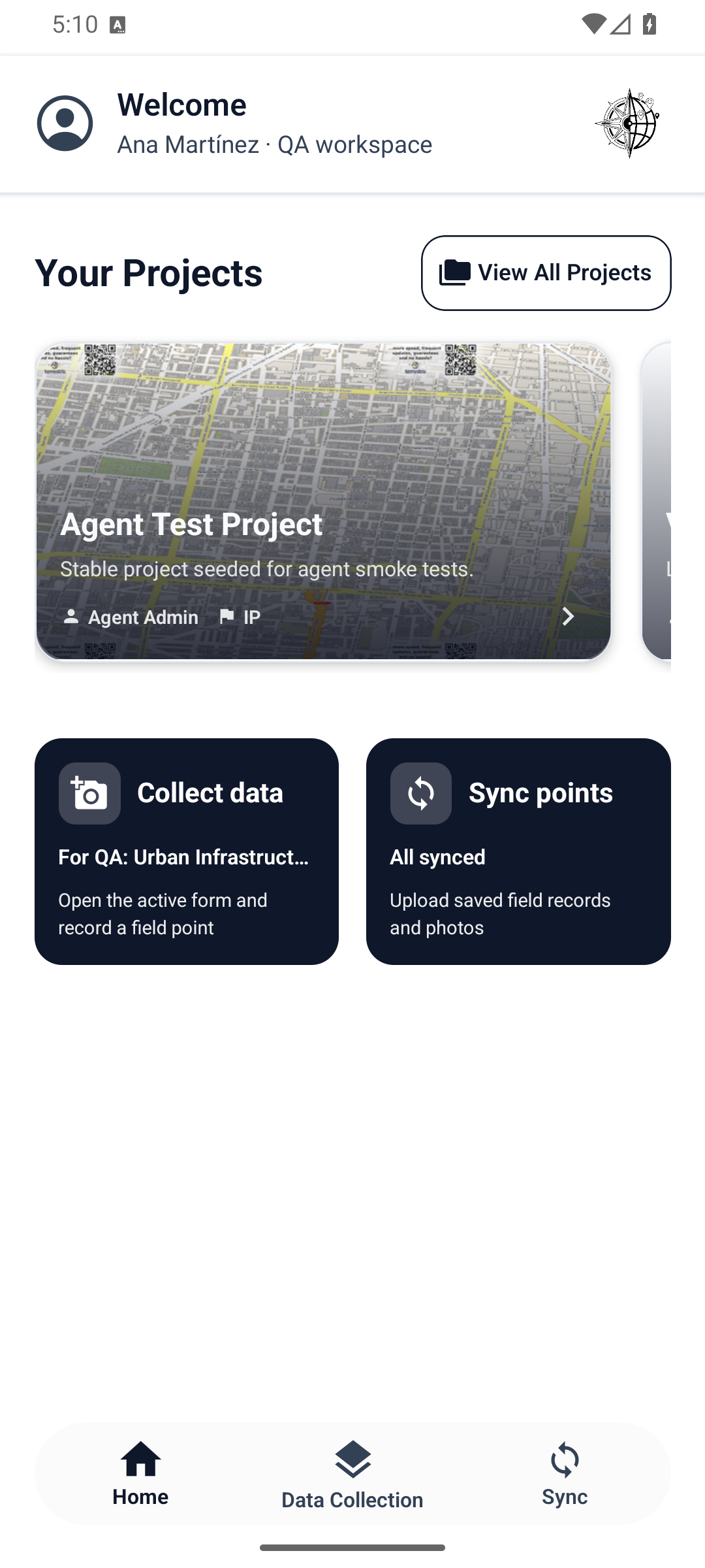
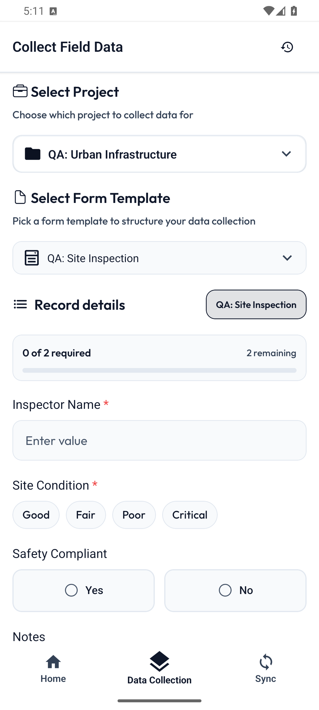
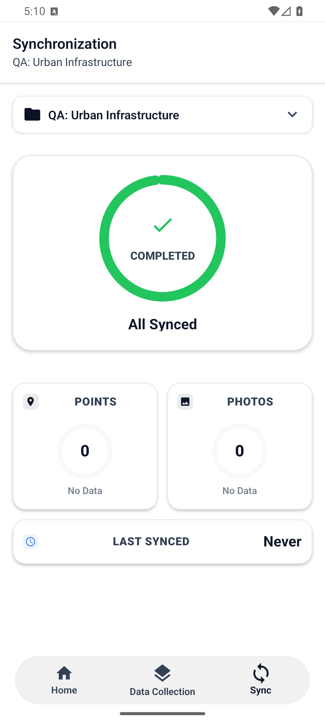
How it works
RomDao connects capture, context, and the next step so every role can read the same reality and act on it.
Bring layers, forms, records, and field evidence into one workspace everyone can query.
layers + forms + evidence
Ask in plain language and relate location, status, history, and priority in one view.
question + context + priority
Deliver a map, report, or operating view that field teams, supervisors, and leadership can use immediately.
map + report + follow-up
Features
Turn an operational question into context, a clear output, and the next step for the team.
01 / ask
Query layers and records in plain language without navigating a full GIS tool.
02 / locate
Connects layers, versions, records, and operational state into a readable view.
03 / share
Share a clear output for field teams, leadership, or operational follow-up.
01 / ask · active step
Operating models
RomDao connects distributed work and service flows in one operating system, regardless of industry.
Model 01 / Field
Captures evidence across multiple zones, consolidates information, and prepares recurring deliverables for central coordination.
Model 02 / Flow
Turns execution forms into tickets and service workflows that track each case from request to closure.
Privacy
Your data stays yours. RomDao protects every layer and query.
Terms
Simple conditions to operate with confidence and transparency.
Before your demo
RomDao brings together what currently lives across maps, spreadsheets, and messages so operations, field teams, and leadership share the same reality.
Frequently asked questions
Your operation, on the map
Tell us how your team works today and we will show you how RomDao can connect your sources, remove friction, and speed up the response.
We review your sources, workflow, and desired outcome. No commitment.